MAKE A MEME
View Large Image
| View Original: | 0253jfSitio Pinagpala Extension Panoramics Bulualto San Miguel Bulacan Farm Market Roadfvf 08.jpg (6400x1024) | |||
| Download: | Original | Medium | Small | Thumb |
| Courtesy of: | commons.wikimedia.org | More Like This | ||
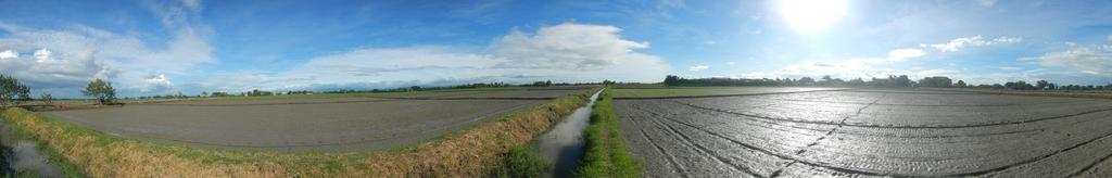
| Keywords: 0253jfSitio Pinagpala Extension Panoramics Bulualto San Miguel Bulacan Farm Market Roadfvf 08.jpg Barangay http //wikimapia org/1767381/Bulualto Bulualto 15°13'17 N 120°56'34 E San Miguel Bulacan beside and interconnecting with Barangay http //wikimapia org/29670732/Marelo Marelo 15°14'1 N 120°57'29 E Gapan Nueva Ecija accessed along and from the Maharlika Highway Cagayan Valley Road San Miguel Bulacan section of the Pan-Philippine Highway also known as the Maharlika Nobility/freeman Highway or Asian Highway 26 Cagayan Valley Road Note Judge Florentino Floro the owner to repeat Donor Florentino Floro of all these photos hereby donate gratuitously freely and unconditionally all these photos to and for Wikimedia Commons exclusively for public use of the public domain and again without any condition whatsoever 2016-12-11 14 49 39 own Judgefloro other versions 15 221389 120 942778 heading 104 66 http //wikimapia org/1767381/Bulualto Bulualto 15°13'17 N 120°56'34 E cc-zero Panoramics of paddy fields in Bulualto San Miguel Bulacan | ||||