MAKE A MEME
View Large Image

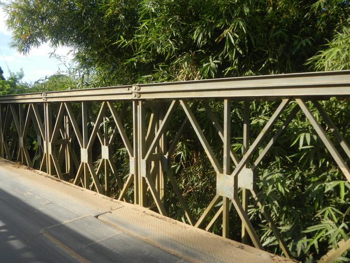
| View Original: | 06646jfPaddy fields grasslands Upig Salapungan San Rafael Ildefonso Bridge Bulacanfvf 10.jpg (4608x3456) | |||
| Download: | Original | Medium | Small | Thumb |
| Courtesy of: | commons.wikimedia.org | More Like This | ||
| Keywords: 06646jfPaddy fields grasslands Upig Salapungan San Rafael Ildefonso Bridge Bulacanfvf 10.jpg Barangay http //wikimapia org/3394592/Salapungan-Chapel Salapungan 15°1'4 N 120°57'47 E San Rafael Bulacan interconnecting with the Paddy fields and vegetable Capsicum annuum var longum Okra Momordica charantia and Vigna unguiculata subsp sesquipedalis plantations in Upig - Bagong Barrio San Ildefonso Bulacan Barangays http //wikimapia org/11415790/Brgy-Upig Upig 15°1'9 N 121°0'6 E and http //wikimapia org/26247814/Bagong-Barrio Bagong Barrio 15°0'37 N 120°59'6 E San Ildefonso Bulacan Bulacan along the San Rafael Bulacan Road part of San Rafael Bulacan Arterial Provincial Road Ž; these are Barrio internal arterial local or Farm to Market Barangay Roads surrounded by Cattle Grasslands Paddy fields and Vegetable plantations Philippine Mahogany grass flowers Talahib grass Kans grass Saccharum spontaneum accessed along and from Barangay Cruz na Daan in Maharlika Highway Cagayan Valley Road San Rafael-San Ildefonso Bulacan section Ž of Pan-Philippine Highway also known as the Maharlika Nobility/freeman Highway or Asian Highway 26 Cagayan Valley Road Note Judge Florentino Floro the owner to repeat Donor Florentino Floro of all these photos hereby donate gratuitously freely and unconditionally all these photos to and for Wikimedia Commons exclusively for public use of the public domain and again without any condition whatsoever 2016-11-12 15 14 52 own Judgefloro other versions 15 019167 121 001667 heading 329 64 http //wikimapia org/11415790/Brgy-Upig Upig 15°1'9 N 121°0'6 E cc-zero Salapungan San Rafael - Upig San Ildefonso Bulacan Bridge | ||||