MAKE A MEME
View Large Image
| View Original: | 0840jfBarangays Dela Paz Santa Cruz Antipolo Sumulong Highwayfvf 13.jpg (3456x4608) | |||
| Download: | Original | Medium | Small | Thumb |
| Courtesy of: | commons.wikimedia.org | More Like This | ||
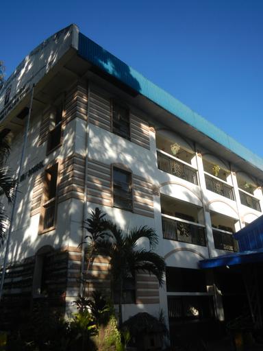
| Keywords: 0840jfBarangays Dela Paz Santa Cruz Antipolo Sumulong Highwayfvf 13.jpg Sumulong Highway Legislative districts of Antipolo City List of barangays of Metro Manila Barangay http //wikimapia org/28673588/Santa-Cruz Santa Cruz 14°36'45 N 121°9'37 E beside http //wikimapia org/29373076/Dela-Paz Dela Paz 14°36'15 N 121°9'35 E beside http //wikimapia org/29373127/San-Isidro San Isidro 14°35'54 N 121°11'14 E http //wikimapia org/1900985/Mambugan Mambugan 14°36'56 N 121°8'8 E Antipolo City along Sumulong Highway to Circumferential Road 6 and Marikina “Infanta Highway Marcos Highway or MARILAQUE Highway or Manila-Rizal-Laguna-Quezon interconnecting with along and from the http //wikimapia org/street/3706/en/Marcos-Highway-Marikina-Infanta-Highway-R-6 Marcos Highway 14°36'49 N 121°20'8 E Marikina City Section Note Judge Florentino Floro the owner to repeat Donor Florentino Floro of all these photos hereby donate gratuitously freely and unconditionally all these photos to and for Wikimedia Commons exclusively for public use of the public domain and again without any condition whatsoever 2016-11-29 15 25 06 own Judgefloro other versions 14 604167 121 159722 heading 28 54 http //wikimapia org/29373076/Dela-Paz Dela Paz 14°36'15 N 121°9'35 E cc-zero De La Paz Antipolo City Elementary School | ||||