MAKE A MEME
View Large Image

| View Original: | 1818_Pinkerton_Map_of_Australia_^_New_Zealand_-_Geographicus_-_Australia-pinkerton-1818.jpg (5000x3652) | |||
| Download: | Original | Medium | Small | Thumb |
| Courtesy of: | commons.wikimedia.org | More Like This | ||
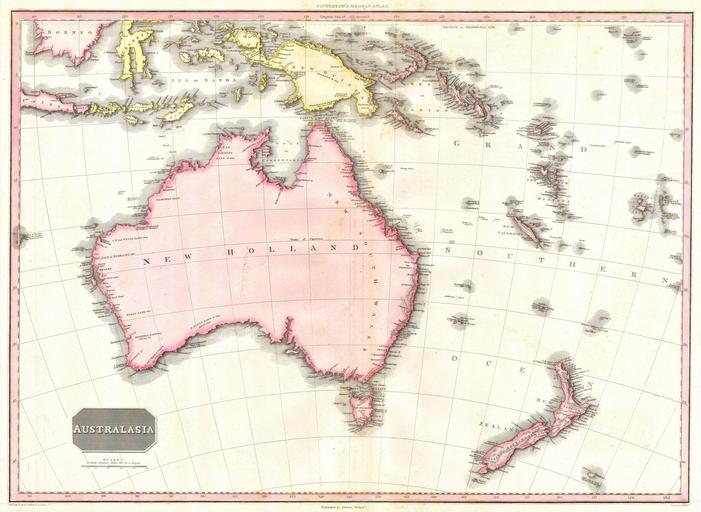
| Keywords: 1818 Pinkerton Map of Australia ^ New Zealand - Geographicus - Australia-pinkerton-1818.jpg This fascinating hand colored 1818 map by Edinburgh cartographer John Pinkerton depicts Australia as New Holland with Van Diemen's land no longer attached New Zealand depicts only two islands and parts of Micronesia and Polynesia nothing is in quite the right place Without a doubt one of the finest and most important maps of the Australia to appear in the 19th century The map comes from the scarce American edition of Pinkerton ôs Modern Atlas published by Dobson Co of Philadelphia in 1818 1818 Size in 28 21 object history credit line accession number Australia-pinkerton-1818 Geographicus-source PD-old-100 Maps by John Pinkerton Old maps showing history of Oceania 1818 maps Maps in English Old maps of Australia | ||||