MAKE A MEME
View Large Image
| View Original: | 1832_Delamarche_Map_of_Spain_and_Portugal_under_the_Roman_Empire_-_Geographicus_-_Spain2-d-32.jpg (3000x2330) | |||
| Download: | Original | Medium | Small | Thumb |
| Courtesy of: | commons.wikimedia.org | More Like This | ||
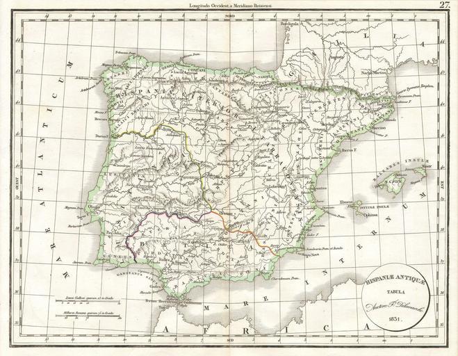
| Keywords: 1832 Delamarche Map of Spain and Portugal under the Roman Empire - Geographicus - Spain2-d-32.jpg This hand colored map is a copper plate engraving dating to 1832 by the well known French mapmaker Delamarche It is a representation of Spain and Portugal under the Roman Empire 1832 Size in 15 12 object history credit line accession number Spain2-d-32 Geographicus-source PD-art Old maps of the Iberian Peninsula 1831 maps Charles François Delamarche Maps in French | ||||