MAKE A MEME
View Large Image

| View Original: | 1836_Cary_Map_of_Greece_and_the_Balkans_-_Geographicus_-_TurkeyinEurope-cary-1836.jpg (3063x3777) | |||
| Download: | Original | Medium | Small | Thumb |
| Courtesy of: | commons.wikimedia.org | More Like This | ||
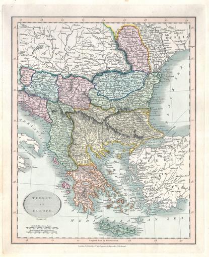
| Keywords: 1836 Cary Map of Greece and the Balkans - Geographicus - TurkeyinEurope-cary-1836.jpg This is a hand colored 1836 map of Greece the Balkans under the rule of Turkey by John Cary Includes the modern day states of Greece Albania Moldova Bosnia Croatia Serbia Bulgaria Romania Published from Cary's office at 181 Strand Street London 1836 Size in 10 12 object history credit line accession number TurkeyinEurope-cary-1836 Geographicus-source PD-old-100 Maps by John Cary 1836 maps 19th-century maps of the Balkans Old Administrative Maps of the Ottoman Empire Maps in English | ||||