MAKE A MEME
View Large Image
| View Original: | 1852_Andriveau_Goujon_Map_of_Paris_and_Environs,_France_-_Geographicus_-_Paris-andriveau-1852.jpg (8000x7629) | |||
| Download: | Original | Medium | Small | Thumb |
| Courtesy of: | commons.wikimedia.org | More Like This | ||
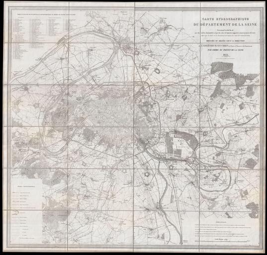
| Keywords: 1852 Andriveau Goujon Map of Paris and Environs, France - Geographicus - Paris-andriveau-1852.jpg LargeImage Large format folding map of Paris and its vicinity dating to 1852 Covers from Argenteuil in the northwest to the Foret de Bondy in the northeast and from the Bois de Verrieres in the southwest to Bois Notre Dame in the southeast Offers extraordinary detail on a monumental scale showing roadways waterways topographical features and in many cases individual buildings Prepared by the Engineer in Chief of the Ponts et Chaussées bridges and roads by order of the préfet de la Seine Published by Andriveau-Goujon 1852 dated Rectified and completed to September 1 1858 dated Size in 46 5 46 5 object history credit line Imprimerie H Geny-Gros Paris<br />La Lettre par A Labanier<br />Geographicus says it was published by Andriveau-Goujon although there is no mention of that on the map accession number Paris-andriveau-1852 Geographicus-source PD-old-100-1923 1852 in Seine department 1852 maps 1858 maps 1852 works in France Maps in French Maps of Paris in the 19th century 19th-century maps of Paris Alfred Potiquet | ||||