MAKE A MEME
View Large Image
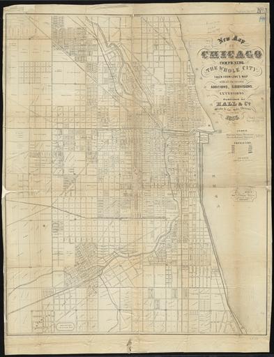
| View Original: | 1855 Chicago map by Hall & Co.jpg (8154x10614) | |||
| Download: | Original | Medium | Small | Thumb |
| Courtesy of: | commons.wikimedia.org | More Like This | ||
| Keywords: 1855 Chicago map by Hall & Co.jpg LargeImage comprising the whole city taken from Lowe's map with all the recent additions subdivisions extensions William A Hall Co 1855 Norman B Leventhal Map Center PD-old map date 1855 Chicago 1 14 400 warp status William A Hall Co print date Institution Boston Public Library accession number cm 76 62 other versions http //maps bpl org/id/18699 http //imagesearchnew library illinois edu/cdm/ref/collection/maps/id/2164 Old maps of Chicago 1855 maps Chicago in the 1850s | ||||