MAKE A MEME
View Large Image

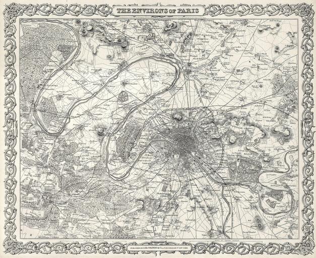
| View Original: | 1855_Colton_Map_or_City_Plan_of_Paris,_France_-_Geographicus_-_Paris-c-55.jpg (3000x2451) | |||
| Download: | Original | Medium | Small | Thumb |
| Courtesy of: | commons.wikimedia.org | More Like This | ||
| Keywords: 1855 Colton Map or City Plan of Paris, France - Geographicus - Paris-c-55.jpg This rare hand colored map of Paris and Environs is a copper plate engraving dating to 1855 Produced by the respected mid 19th century American Mapmaker J H Colton Map covers the Seine valley in a roughly 30 mile radius of Paris Versailles appears in the extreme southwest and Vitry in the extreme northeast The whole is beautifully detailed down to individual buildings A beautiful and superbly detailed map 1855 Size in 16 13 object history credit line accession number Paris-c-55 Geographicus-source PD-old-100 Maps by Joseph Hutchins Colton Maps of Paris in the 19th century 19th-century maps of Paris 1855 maps 1855 in Paris | ||||