MAKE A MEME
View Large Image

| View Original: | 1857_Colton_Traveller's_Map_of_Long_Island,_New_York_-_Geographicus_-_LongIsland-colton-1857.jpg (4000x1665) | |||
| Download: | Original | Medium | Small | Thumb |
| Courtesy of: | commons.wikimedia.org | More Like This | ||
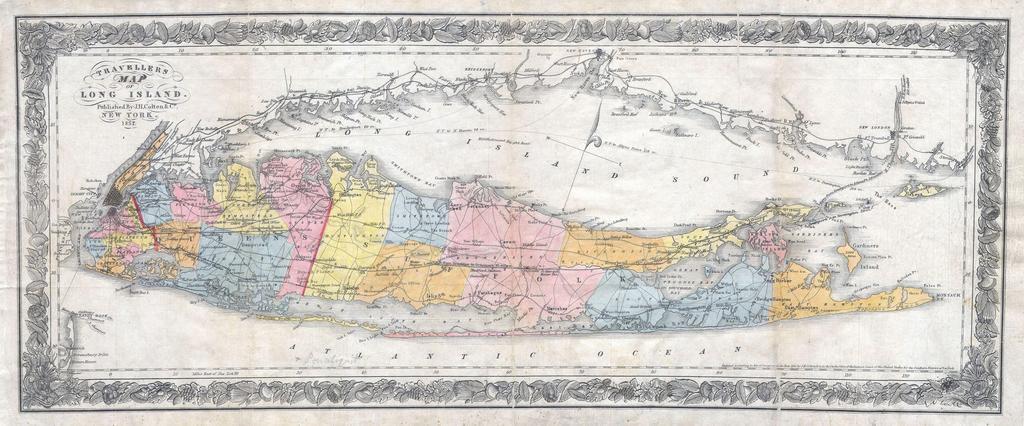
| Keywords: 1857 Colton Traveller's Map of Long Island, New York - Geographicus - LongIsland-colton-1857.jpg This is the exceedingly rare 1857 issue of Colton ôs folding map of Long Island Depicts Long Island in full inclusive of Manhattan and the southern shore of Connecticut Details the counties in red green yellow and blue pastels Shows the progress of the Long Island Railroad system as well as all important towns bays lighthouses roads and harbors This popular map created in response to general interested in the settlement of long island prompted by the development of the LIRR was originally drawn in 1855 and was published by the Colton firm until approximately 1870 Dated and copyrighted Entered according the Act of Congress in the Year 1855 by J H Colton Co in the Clerks Office of the District Court of the United States for the Southern District of New York 1857 dated Size in 21 5 9 object history credit line accession number LongIsland-colton-1857 Geographicus-source PD-old-100 Maps by Joseph Hutchins Colton Old maps of Long Island 1857 maps | ||||