MAKE A MEME
View Large Image
| View Original: | 1859_Gibraltar_fortifications_map.jpg (5764x2098) | |||
| Download: | Original | Medium | Small | Thumb |
| Courtesy of: | commons.wikimedia.org | More Like This | ||
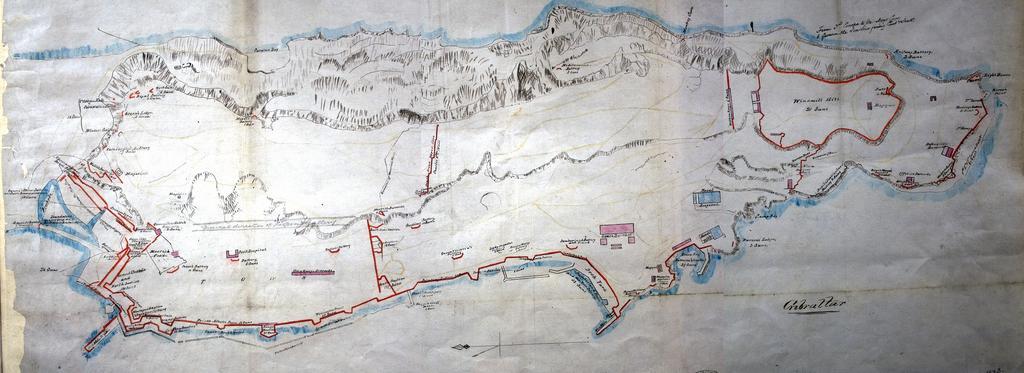
| Keywords: 1859 Gibraltar fortifications map.jpg 'Gibraltar' plan showing naval and military establishments bastions batteries and other defence works magazines Scale 6 inches to 2 400 feet UK National Archives MPH 1/23 1859 author Old maps of Gibraltar Fortifications in Gibraltar PD-Art-100 | ||||