MAKE A MEME
View Large Image
| View Original: | 1862_Johnson_Map_of_Texas_-_Geographicus_-_TX-j-1862.jpg (5000x3445) | |||
| Download: | Original | Medium | Small | Thumb |
| Courtesy of: | commons.wikimedia.org | More Like This | ||
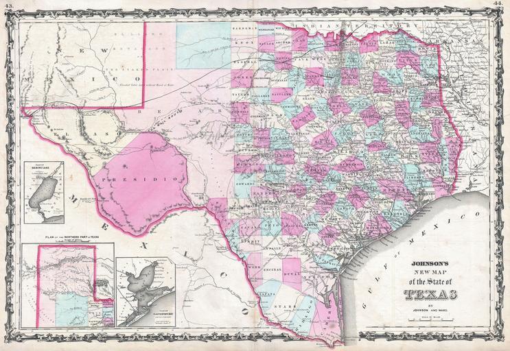
| Keywords: 1862 Johnson Map of Texas - Geographicus - TX-j-1862.jpg An exceptional example of A J Johnson ™s highly desirable map of Texas Created at the height of the American Civil War this extraordinary folio map details the state of Texas in full Shows the Elevated Table Lands the El Lando Estadado the Staked Plain the U S Mail Route numerous geographical notations and color coding according to county El Paso Presidio and Behar counties are gigantic and occupy much of the western portion of the state Insets in the lower left quadrant detail Sabine Lake with depth soundings Galveston Bay from the U S C S and the northern panhandle Features the strapwork border common to Johnson ™s atlas work from 1860 to 1863 Based on a similar 1855 map by J H Colton Published by A J Johnson and Ward as plate numbers 43 and 44 in the 1862 edition of Johnson ™s New Illustrated Family Atlas 1862 undated Size in 25 17 object history credit line accession number s Geographical Statistical and Historical </i> 1862 A J Johnson Ward edition Geographicus-source PD-old-100 Maps by Alvin Jewett Johnson 1862 maps Old maps of Texas | ||||