MAKE A MEME
View Large Image
| View Original: | 1874_Gray_Map_of_North_Carolina_-_Geographicus_-_NorthCarolina-gray-1874.jpg (3500x2651) | |||
| Download: | Original | Medium | Small | Thumb |
| Courtesy of: | commons.wikimedia.org | More Like This | ||
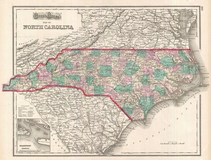
| Keywords: 1874 Gray Map of North Carolina - Geographicus - NorthCarolina-gray-1874.jpg A very attractive 1874 map of North Carolina by O Gray This map covers the entire state in considerable detail with vivid hand coloring at the county level Notes roads railways towns and cities and some topographical detail An inset map in the lower left quadrant detail Beaufort Harbor Published as plate 102 in the 1874 edition of Gray ™s Atlas 1874 undated Size in 16 5 12 object history credit line accession number s Geographical Historical Scientific and Statistical </i> Philadelphia 1874 Geographicus-source PD-art Old maps of North Carolina 1874 maps Beaufort North Carolina | ||||