MAKE A MEME
View Large Image

| View Original: | 1918 California state highways.svg (576x672) | |||
| Download: | Original | Medium | Small | Thumb |
| Courtesy of: | commons.wikimedia.org | More Like This | ||
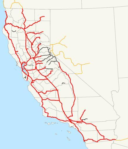
| Keywords: 1918 California state highways.svg This is a map of California's state highway system constructed and proposed routes as it existed in 1918 with routes added by the 1910 and 1916 bond issues in red Email me if you would like a copy of the GIS data I created for the highways 2007-12-20 own assumed NE2 Maps of California's state highway system Files in need of review sources | ||||