MAKE A MEME
View Large Image
| View Original: | 1928_Map_of_the_Environs_of_London,_England_-_Geographicus_-_LondonEnvirons-bartholomew-1928.jpg (5000x3138) | |||
| Download: | Original | Medium | Small | Thumb |
| Courtesy of: | commons.wikimedia.org | More Like This | ||
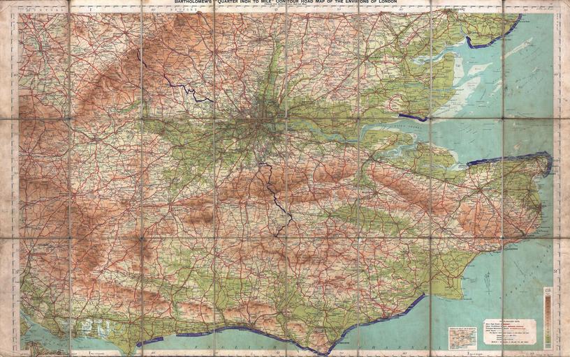
| Keywords: 1928 Map of the Environs of London, England - Geographicus - LondonEnvirons-bartholomew-1928.jpg This is a rare c 1928 map of London England and its environs Covers from Portsmouth eastward as far as Ramsgate and northward as far as Oxford and Colchester Includes London with basic streets and roadways noted Includes routes for road bicycle paths and trains Prepared by John Bartholomew in conjunction with the Ordinance Survey and published by Edward Stanford Designed with the traveler in mind and thus bisected and backed with linen for easy folding 1928 undated Size in 22 21 object history credit line accession number LondonEnvirons-bartholomew-1928 Independent Issue Geographicus-source PD-art Old maps of London 1928 maps | ||||