MAKE A MEME
View Large Image
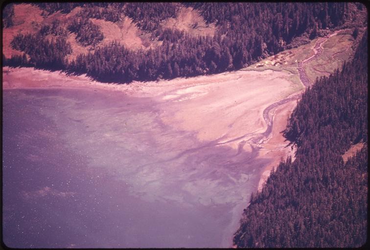
| View Original: | A_SMALL_STREAM_DRAINING_INTO_JACK_BAY_ONE_MILE_SOUTHEAST_OF_TONGUE_POINT._NEAR_VALDEZ,_ALASKA_-_NARA_-_555705.jpg (3000x2033) | |||
| Download: | Original | Medium | Small | Thumb |
| Courtesy of: | commons.wikimedia.org | More Like This | ||
| Keywords: A SMALL STREAM DRAINING INTO JACK BAY ONE MILE SOUTHEAST OF TONGUE POINT. NEAR VALDEZ, ALASKA - NARA - 555705.jpg Scope and content General notes 555705 Local identifier 412-DA-13253 Environmental Protection Agency 12/02/1970 - NARA-Author Cowals Dennis 1945- Photographer 2196327 <br /> Valdez Valdez-Cordova Alaska United States North and Central America inhabited place 4211183 61 117 -146 33 <br /> Still Picture Records Section Special Media Archives Services Division NWCS-S National Archives at College Park 8601 Adelphi Road College Park MD 20740-6001 08/1974 Record group Record Group 412 Records of the Environmental Protection Agency 1944 - 2006 Record group ARC 708 DOCUMERICA The Environmental Protection Agency's Program to Photographically Document Subjects of Environmental Concern compiled 1972 - 1977 Series ARC 542493 File unit File unit ARC Variant control numbers Agency-Assigned Identifier 221/53/013253<br /> NAIL Control Number NWDNS-412-DA-13253 no Other versions <gallery> File A_SMALL_STREAM_DRAINING_INTO_JACK_BAY_ONE_MILE_SOUTHEAST_OF_TONGUE_POINT _NEAR_VALDEZ _ALASKA_-_NARA_-_555705 tif tif File A_SMALL_STREAM_DRAINING_INTO_JACK_BAY_ONE_MILE_SOUTHEAST_OF_TONGUE_POINT _NEAR_VALDEZ _ALASKA_-_NARA_-_555705 jpg jpg </gallery> NARA-cooperation PD-USGov Valdez Alaska | ||||