MAKE A MEME
View Large Image
| View Original: | Ahrweiler_1893_Karte.jpg (1689x1745) | |||
| Download: | Original | Medium | Small | Thumb |
| Courtesy of: | commons.wikimedia.org | More Like This | ||
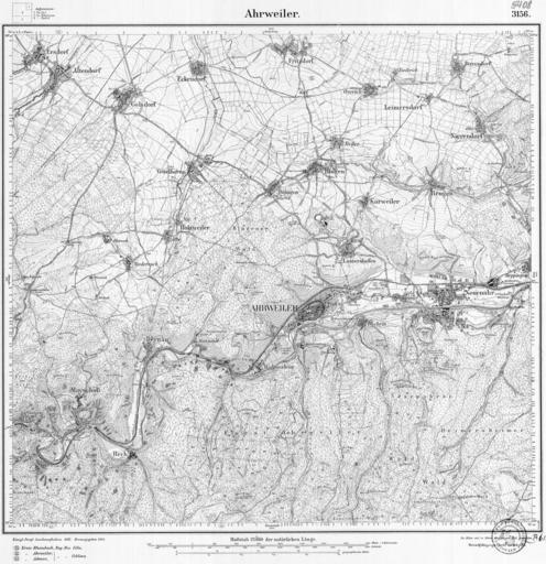
| Keywords: Ahrweiler 1893 Karte.jpg Plan Ahrweiler 1 25 000 http //greif uni-greifswald de/geogreif/geogreif-content/upload/mtbl/5408Ahrweiler1893Kopie jpg Geographische Sammlungen Institut für Geographie und Geologie der Universität Greifswald Aufnahme 1893 Herausgegeben 1895 Königlich Preußische Landesaufnahme PD-old Old maps of North Rhine-Westphalia Ahrweiler Maps by Royal Prussian Land Survey | ||||