MAKE A MEME
View Large Image
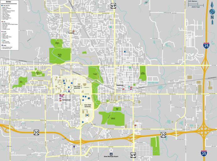
| View Original: | Ames map.png (2916x2161) | |||
| Download: | Original | Medium | Small | Thumb |
| Courtesy of: | commons.wikimedia.org | More Like This | ||
| Keywords: Ames map.png Map of Ames Iowa 2012-05-21 Image Ames map svg PeryPlanet Vector version available Ames map svg User at wikivoyage old WT-shared PerryPlanet wts Original upload log wts page wts wikivoyage-old Ames_map png 2012-05-21 23 18 http //wts wikivoyage-old org/wiki/user 3A 28WT-shared 29_PerryPlanet WT-shared PerryPlanet 2916×2161 1873510 bytes <nowiki> Imagecredit PeryPlanet May 21 2012 Ames Iowa Image Ames map svg Map of Ames Iowa descri Import from wikitravel org/shared </nowiki> Travel maps from Wikivoyage WTS to check Travel maps of Iowa Files by Wikivoyage user not yet sorted Maps of cities in Iowa Ames Iowa | ||||