MAKE A MEME
View Large Image
| View Original: | Arrondissement Brussels-Periphery Belgium Map.PNG (270x203) | |||
| Download: | Original | Medium | Small | Thumb |
| Courtesy of: | commons.wikimedia.org | More Like This | ||
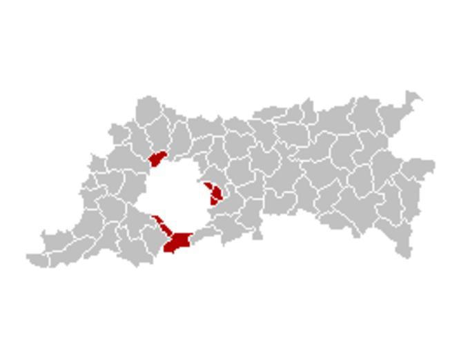
| Keywords: Arrondissement Brussels-Periphery Belgium Map.PNG Map of the former Arrondissement of Brussels-Periphery in the Province of Flemish Brabant Belgium Kaart van het voormalige arrondissement Brussel-Randgemeenten in de provincie Vlaams-Brabant Carte indiquant la localisation de l'ancien arronddissement de Bruxelles-Périphérie dans la Province de Brabant-Flamand Ganchelkas I changed the colors of this map based on the work of w nl Gebruiker LennartBolks/kaartenhoekje which is also in the public domain Maps of Flemish Brabant Province | ||||