MAKE A MEME
View Large Image

| View Original: | Atlas_Van_der_Hagen-KW1049B11_058-PARS_MERIDIONALIS_BRABANTIAE_continens_DOMINIUM_MECHLINIENSE_Ducatum_Arschotanum.jpeg (5500x4704) | |||
| Download: | Original | Medium | Small | Thumb |
| Courtesy of: | commons.wikimedia.org | More Like This | ||
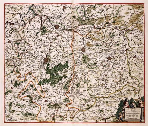
| Keywords: Atlas Van der Hagen-KW1049B11 058-PARS MERIDIONALIS BRABANTIAE continens DOMINIUM MECHLINIENSE Ducatum Arschotanum.jpeg of the Atlas Van der Hagen in the catalogue of the KB http //opc4 kb nl/DB 1/TTL 1/LNG EN/PPN PPN 353012750 Publisher Creator Frederick de Wit Publisher Creator Frederick de Wit credit line na 1688 Deze kaart van Vlaams Brabant is een uitgave van Frederik de Wit 1630-1706 Zoals veel van de uitgaven van deze Amsterdamse uitgever is ook deze kaart ongedateerd Waarschijnlijk bediende De Wit zich bij de samenstelling van deze kaart van het hertogdom Brabant van Claes Jansz Visscher 1587-1652 uit 1656 This map of Flemish Brabant was issued by Frederik de Wit 1630-1706 As most of his maps this one is also not dated For this map De Wit may have used a map of the duchy Brabant by Claes Jansz Visscher 1587-1652 from 1656 46 x 54 cm exhibition history Institution Koninklijke Bibliotheek kopergravure Technique copper engraving KW1049B11_058 - Volume 1 Claes Jansz Visscher - Frederik de Wit Information field Depicted locations Brabant - Belgium - Mechelen dominion - Aarschot duchy object history object type Kaart Map PD-old-100 place of creation place of discovery Source page at the http //resolver kb nl/resolve urn urn gvn KONB01 177 Geheugen van Nederland / Memory of the Netherlands website Koninklijke Bibliotheek PARS MERIDIONALIS BRABANTIAE continens DOMINIUM MECHLINIENSE Ducatum Arschotanum Uploaded with GWToolset Atlas Van der Hagen-KW1049B11_058-PARS MERIDIONALIS BRABANTIAE continens DOMINIUM MECHLINIENSE Ducatum Arschotanum http //resolver kb nl/resolve urn urn gvn KONB01 1049B11_058 size large Atlas van der Hagen | ||||