MAKE A MEME
View Large Image
| View Original: | Atoll Fangataufa Map.jpg (924x696) | |||
| Download: | Original | Medium | Small | Thumb |
| Courtesy of: | commons.wikimedia.org | More Like This | ||
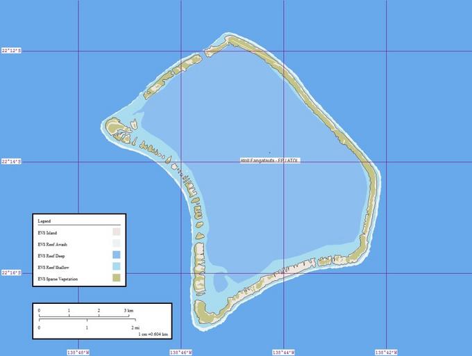
| Keywords: Atoll Fangataufa Map.jpg Map created by Peter Minton using Landsat Image S-07-20_2000 Global Mapper and Marplot en wikipedia 2006-01-22 Pjminton~enwiki wikipedia en PD-AUTHOR Peter Minton Original upload log en wikipedia Atoll_Fangataufa_Map jpg wikitable - 2006-01-22 02 02 924×696× 70098 bytes Pjminton~enwiki Map created by Peter Minton using Landsat Image S-07-20_2000 Global Mapper and Marplot Fangataufa | ||||