MAKE A MEME
View Large Image

| View Original: | AusschnittKarte1797CustomHouse StMarksChurch.jpg (1040x687) | |||
| Download: | Original | Medium | Small | Thumb |
| Courtesy of: | commons.wikimedia.org | More Like This | ||
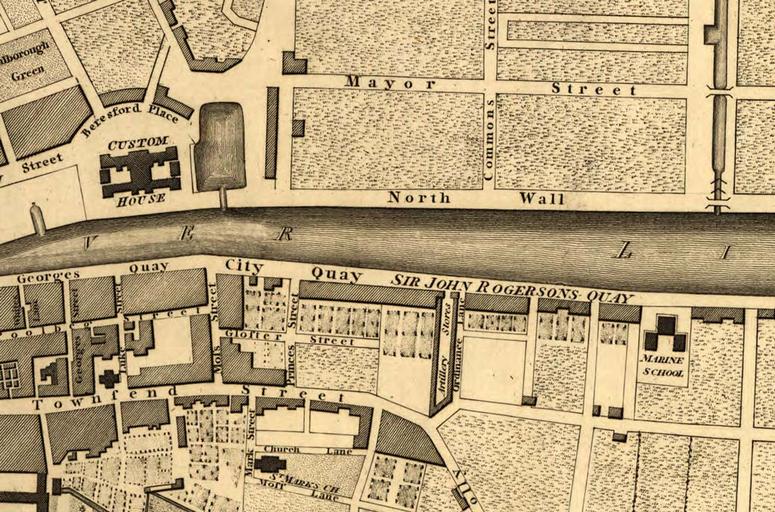
| Keywords: AusschnittKarte1797CustomHouse StMarksChurch.jpg Part of the Plan of Greater Dublin including Circular Roads 1797 File 1797-map-of-Dublin jpg 1797 S J Neele 1797-map-of-Dublin jpg PD-old Original upload log de wikipedia AusschnittKarte1797CustomHouse+StMarksChurch jpg wikitable - 2016-05-21 05 34 1040Ă—687Ă— 197996 bytes BirgitSattler Information Part of the Plan of Greater Dublin including Circular Roads 1797 https //en wikipedia org/wiki/Historical_Maps_of_Dublin mediaviewer/File 1797-map-of-Dublin jpg W Faden Datum ¦ Old maps of Dublin 1797 in Dublin 1797 maps | ||||