MAKE A MEME
View Large Image
| View Original: | Babylon_1829_cropped.gif (489x356) | |||
| Download: | Original | Medium | Small | Thumb |
| Courtesy of: | commons.wikimedia.org | More Like This | ||
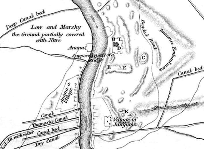
| Keywords: Babylon 1829 cropped.gif en Map of the site of Babylon prior to its excavation later in the 19th century Babylon_1829 jpg - from Travels in Chaldaea including a journey from Bussorah to Bagdad Hillah and Babylon performed on foot in 1827 published by Henry Colburn and Richard Bentley London 1829 2010-06-06 23 07 UTC Babylon_1829 jpg Captain Robert Mignan d 1852 derivative work ChrisO <span class signature-talk >talk</span> Cropped to show southern area highlighting the Jumjuma mound ChrisO Babylon_1829 jpg PD-old original upload log This image is a derivative work of the following images File Babylon_1829 jpg licensed with PD-old 2010-06-06T22 50 24Z ChrisO 1065x1464 228517 Bytes <nowiki> en Map of the site of Babylon prior to its excavation later in the 19th century Ground Plan of the Remains at near Babylon Captain R Mignan October 1829 </nowiki> Uploaded with derivativeFX Babylon | ||||