MAKE A MEME
View Large Image
| View Original: | Barren Fork Cemetery from parking area.jpg (6016x4000) | |||
| Download: | Original | Medium | Small | Thumb |
| Courtesy of: | commons.wikimedia.org | More Like This | ||
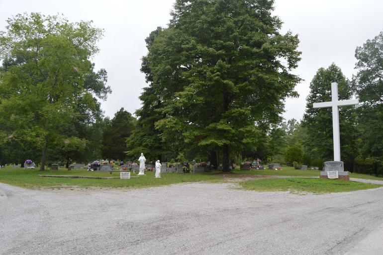
| Keywords: Barren Fork Cemetery from parking area.jpg 97001125 36 46 38 N 84 28 8 W Overview from the east of the community cemetery at the ghost town of w Barren Fork Kentucky Barren Fork Kentucky United States An active coal town for several decades the site has been abandoned since the Great Depression It is listed on the National Register of Historic Places under the name of Barren Fork Coal Camp and Mine Archeological District Own 2014-07-25 User Nyttend Nyttend No<nowiki></nowiki>ne Archaeological sites in Kentucky Cemeteries in Kentucky Daniel Boone National Forest Ghost towns Historic districts in Kentucky Mining towns in the United States National Register of Historic Places in McCreary County Kentucky Scenery pictures by User Nyttend | ||||