MAKE A MEME
View Large Image
| View Original: | Belgrád_-_38-45.jpg (3591x4952) | |||
| Download: | Original | Medium | Small | Thumb |
| Courtesy of: | commons.wikimedia.org | More Like This | ||
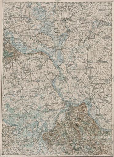
| Keywords: Belgrád - 38-45.jpg LÄNGE 38 45 3rd Military Mapping Survey of Austria-Hungary - Belgrád http //lazarus elte hu/hun/moterkep htm - László ZENTAI ca 1910 Military mapping authority of Austria-Hungary PD-old 3rd Military Mapping Survey of Austria-Hungary Old maps of Serbia Old maps of Vojvodina Maps of the history of Bačka Maps of the history of Banat Maps of the history of Syrmia Old maps of Belgrade 1910ca Maps of the middle Danube | ||||