MAKE A MEME
View Large Image
| View Original: | Bisons.JPG (1262x1107) | |||
| Download: | Original | Medium | Small | Thumb |
| Courtesy of: | commons.wikimedia.org | More Like This | ||
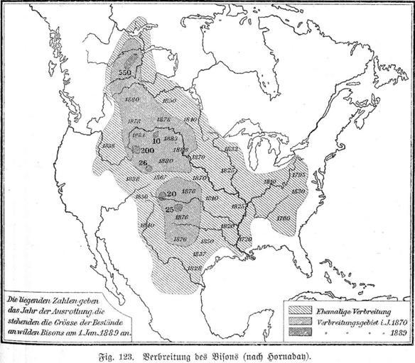
| Keywords: Bisons.JPG The areas where the Bisons lived by the end of the 19 century The map is drawn by William Temple Hornaday I scanned the picture from Geographisches Handbuch zu Andrees Handatlas vierte Auflage Bielefeld und Leipzig Velhagen und Klasing 1902 The image was superceded by File Extermination of bison to 1889 png Olahus PD-old Maps of the history of North America Bison bison maps William Temple Hornaday Maps in German | ||||