MAKE A MEME
View Large Image

| View Original: | BlankMap-World-2005.png (1425x625) | |||
| Download: | Original | Medium | Small | Thumb |
| Courtesy of: | commons.wikimedia.org | More Like This | ||
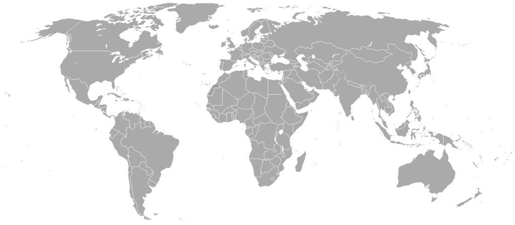
| Keywords: BlankMap-World-2005.png locator map Blank map of the world showing 2005 borders i e before the independence of Montenegro and Kosovo Based on Image BlankMap-World png; as it is PD this is too This map is accurate for the period between May 20 2002 East Timor independent from Indonesia and June 3 2006 Montenegro independent from Serbia and Montenegro ” notwithstanding the renaming of Yugoslavia to Serbia and Montenegro on February 3 2003 Previous map Image BlankMap-World-2000 png Historical blank world maps Hoshie derivative works BlankMap-World-2009 PNG Curlfi sole distribution map png Blank maps of the world for historical use 2005 maps | ||||