MAKE A MEME
View Large Image
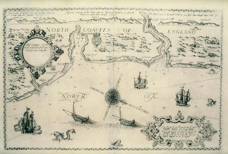
| View Original: | Bodleian Libraries, The Carde of the North coasts of England from Whitbye to Coket Ile.jpg (1000x675) | |||
| Download: | Original | Medium | Small | Thumb |
| Courtesy of: | commons.wikimedia.org | More Like This | ||
| Keywords: Bodleian Libraries, The Carde of the North coasts of England from Whitbye to Coket Ile.jpg map of the east coast of England from Whitby to Coquet Island in the Mariners Mirrour 500 x 325 mm; 35mm slide exhibition history Filmstrip Roll 279 1 frame 33; Source filename mapsxx003-abf-0001-0 object history object type Licensed-PD-Art PD-old-100 cc-by-4 0 place of creation London England place of discovery http //digital bodleian ox ac uk/inquire/p//b98011b1-f1b6-4330-8d53-3ccf1fa12b14 Digital Bodleian Template Bodleian Libraries The Carde of the North coasts of England from Whitbye to Coket Ile Uploaded with GWToolset Bodleian Libraries The Carde of the North coasts of England from Whitbye to Coket Ile http //iiif bodleian ox ac uk/iiif/image/b98011b1-f1b6-4330-8d53-3ccf1fa12b14/full/ 1000 1000/0/default jpg Files uploaded by the Bodleian Libraries' Wikimedian In Residence Bodleian Maps Collection Old maps of Great Britain | ||||