MAKE A MEME
View Large Image
| View Original: | Bodleian Libraries, South west Kent, 1801.jpg (1000x675) | |||
| Download: | Original | Medium | Small | Thumb |
| Courtesy of: | commons.wikimedia.org | More Like This | ||
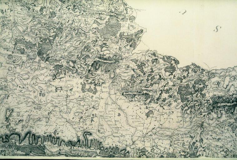
| Keywords: Bodleian Libraries, South west Kent, 1801.jpg Map of south west Kent on the scale of one inch to one mile 1 63 360 560 x 355 mm; 35mm slide exhibition history Filmstrip Roll 279 2 frame 33; Source filename mapsxx003-acp-0001-0 object history object type Licensed-PD-Art PD-old-100 cc-by-4 0 place of creation London England Faden William place of discovery http //digital bodleian ox ac uk/inquire/p//15d87684-c8be-4020-b4c7-9b53753d2a38 Digital Bodleian Template Bodleian Libraries South west Kent 1801 -Ordnance Survey 1-inch first edition Uploaded with GWToolset Bodleian Libraries South west Kent 1801 http //iiif bodleian ox ac uk/iiif/image/15d87684-c8be-4020-b4c7-9b53753d2a38/full/ 1000 1000/0/default jpg Files uploaded by the Bodleian Libraries' Wikimedian In Residence Bodleian Maps Collection Old county maps of Kent | ||||