MAKE A MEME
View Large Image
| View Original: | Bottom_of_draw_across_Lone_Spring_Placer_showing_dumps_of_prospect_holes_Nos._3_to_7_-_NARA_-_286114.jpg (3000x2362) | |||
| Download: | Original | Medium | Small | Thumb |
| Courtesy of: | commons.wikimedia.org | More Like This | ||
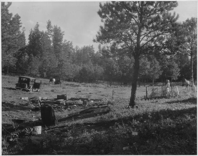
| Keywords: Bottom of draw across Lone Spring Placer showing dumps of prospect holes Nos. 3 to 7 - NARA - 286114.jpg Scope and content General notes 286114 Local identifier Department of Agriculture Forest Service Black Hills National Forest 03/04/1907 - NARA's Central Plains Region Kansas City NREA 400 West Pershing Road Kansas City MO 64108 other date ~ 1935 Record group Record Group 95 Records of the Forest Service 1870 - 2008 Record group ARC 424 Forest Supervisor's Office Records compiled ca 1907 - 1960 Series ARC 286079 File unit File unit ARC Variant control numbers NAIL Control Number NRE-95-BHNF FSGC -316 Other versions <gallery> File Bottom_of_draw_across_Lone_Spring_Placer_showing_dumps_of_prospect_holes_Nos _3_to_7_-_NARA_-_286114 tif tif File Bottom_of_draw_across_Lone_Spring_Placer_showing_dumps_of_prospect_holes_Nos _3_to_7_-_NARA_-_286114 jpg jpg </gallery> - Category NARA images of South Dakota with categorized JPGs - NARA-cooperation PD-USGov Black Hills National Forest Mining in the Black Hills South Dakota in the 1930s NARA images of South Dakota Black and white photographs of South Dakota | ||||