MAKE A MEME
View Large Image
| View Original: | Breezewood PA airphoto aug2010.jpg (830x622) | |||
| Download: | Original | Medium | Small | Thumb |
| Courtesy of: | commons.wikimedia.org | More Like This | ||
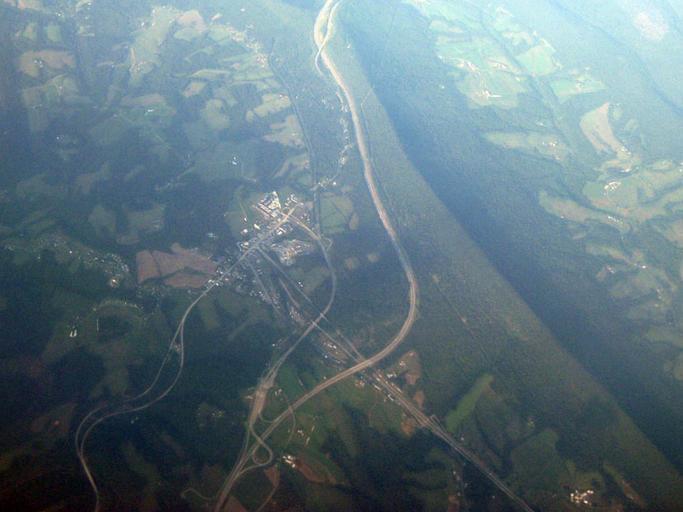
| Keywords: Breezewood PA airphoto aug2010.jpg Oblique air photo of Breezewood and vicinity facing northeast and showing Interstate 70 the Pennsylvania Turnpike U S Route 30 and Rays Hill in Bedford and Fulton Counties 22 August 2010 en wikipedia SchuminWeb CommonsHelper 2010-08-31 Jstuby wikipedia en Jstuby Original upload log page en wikipedia Breezewood_PA_airphoto_aug2010 jpg 2010-08-31 12 39 Jstuby 830×622× 134346 bytes <nowiki>Oblique air photo of Breezewood Pennsylvania and vicinity facing northeast and showing Interstate 70 the Pennsylvania Turnpike U S Route 30 and Sideling Hill in Bedford and Fulton Counties 22 August 2010 </nowiki> Breezewood Pennsylvania Rays Hill Interstate 70 in Pennsylvania Pennsylvania Turnpike | ||||