MAKE A MEME
View Large Image
| View Original: | Buru_tpc_1967.jpg (1057x797) | |||
| Download: | Original | Medium | Small | Thumb |
| Courtesy of: | commons.wikimedia.org | More Like This | ||
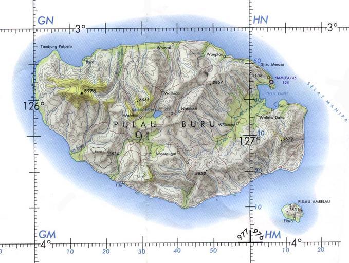
| Keywords: Buru tpc 1967.jpg here 05 59 4 January 2005 Davenbelle 1057x797 152 064 bytes <nowiki> Buru Island Operational Navigation Chart original scale 1 1 000 000 Portion of Defense Mapping Agency ONC M-12 1967 152K Not for navigational use </nowiki> Commons upload by File Upload Bot Magnus Manske 11 23 7 June 2006 UTC User Davenbelle on http //en wikipedia org en wikipedia PD-USGov Maps of Maluku Buru Excerpt from Tactical Pilotage Chart JPG maps | ||||