MAKE A MEME
View Large Image
| View Original: | California Interstate and State Route 110.svg (1152x639) | |||
| Download: | Original | Medium | Small | Thumb |
| Courtesy of: | commons.wikimedia.org | More Like This | ||
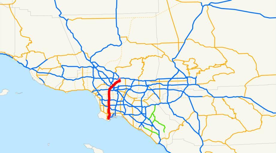
| Keywords: California Interstate and State Route 110.svg en This is a map of Interstate 110 and State Route 110 in California with recently-relinquished parts in pink Email me if you would like a copy of the GIS data I created for the highways User NE2 Sources http //www bts gov/publications/north_american_transportation_atlas_data/ BTS North American Transportation Atlas Data http //www dot ca gov/hq/traffops/trucks/truckmap/truck-route-list xls Caltrans State Truck Route List XLS file http //www dot ca gov/hq/structur/strmaint/brlog2 htm Caltrans Log of Bridges on State Highways http //traffic-counts dot ca gov/ All Caltrans Traffic Volumes on CSHS http //www leginfo ca gov/cgi-bin/displaycode section shc group 00001-01000 file 300-635 California State Legislature Definitions of Routes Interstate 110 California California State Route 110 Road maps of state highways in California 110 | ||||