MAKE A MEME
View Large Image
| View Original: | Camp Cable area plan number 1 T 296 (georeferenced).png (2355x3181) | |||
| Download: | Original | Medium | Small | Thumb |
| Courtesy of: | commons.wikimedia.org | More Like This | ||
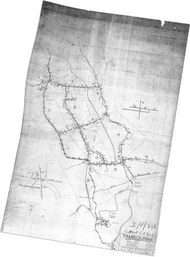
| Keywords: Camp Cable area plan number 1 T 296 (georeferenced).png Camp Cable near Logan Village Queensland Australia Georeferenced to WGS84 using Quantum GIS QGIS ver 1 8 0-Lisboa Datum WGS84 EPSG 4326 North -27 761256° South -27 884909° East 153 167619° West 153 076154° 1945 base map 2012 georeference National Archives of Australia BP378/1 FOLDER T FOLIO 76 USAFIA base map Brass razoo georeference -27 8004 153 0997 Custom license marker 2013 02 04 PD-Australia overlay Uploaded with UploadWizard History of Queensland/World War 2/Camp Cable | ||||
.png)