MAKE A MEME
View Large Image
| View Original: | Cape_Corwin_1911_USCGS.PNG (546x236) | |||
| Download: | Original | Medium | Small | Thumb |
| Courtesy of: | commons.wikimedia.org | More Like This | ||
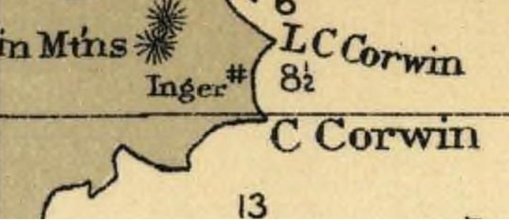
| Keywords: Cape Corwin 1911 USCGS.PNG en Detail of Bering Sea nautical chart from 1911 showing part of Nunivak Island Alaska Historical Map and Chart Project http //historicalcharts noaa gov/tiled_jpgs_done/zoomifyURLDrivenWebPage htm zoomifyImagePath 9302_4-1911 USCGS 1911 PD-USGov Old maps of Alaska Maps of Nunivak Island Headlands of Alaska | ||||