MAKE A MEME
View Large Image

| View Original: | Carte que les Gnacsitares ont Dessine.jpg (2207x909) | |||
| Download: | Original | Medium | Small | Thumb |
| Courtesy of: | commons.wikimedia.org | More Like This | ||
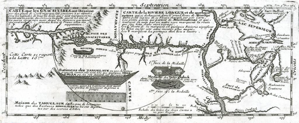
| Keywords: Carte que les Gnacsitares ont Dessine.jpg en Map depicting Baron de Lahontan's imaginary west-east Long River Riviere Longue rising in distant western mountains and emptying into the upper Mississippi <br> The map extends east to the Great Lakes to show Lac Superieur and Lac de Illinois Michigan along with a number of the early French forts and fur trading outposts fr Carte que les Gnacsitares ont Dessine sur <br> Carte de la Riviere Longue et de quelques Autres qui se Dechargent dans le Grand Fleuve Missisipi 1703 https //www raremaps com/gallery/enlarge/22571 raremaps com - https //www raremaps com/gallery/detail/22571 view print Louis-Armand de Lom d'Arce Baron de Lahontan other versions PD-old-70-1923 Maps of North America 1703 works Louis-Armand de Lom d'Arce | ||||