MAKE A MEME
View Large Image
| View Original: | CastaicLakeCalifornia03.jpg (1107x839) | |||
| Download: | Original | Medium | Small | Thumb |
| Courtesy of: | commons.wikimedia.org | More Like This | ||
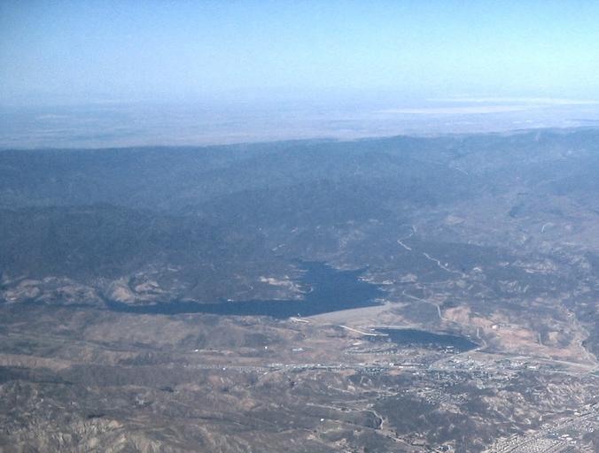
| Keywords: CastaicLakeCalifornia03.jpg Aerial photograph northeast of the Sierra Pelona Mountains and Castaic Lake reservoir Los Angeles County Southern California The C Antelope Valley of the western Mojave Desert is along the top of the image and the Santa Clarita area is on the lower right ;Credits Taken out the window looking northeast of an Embraer by Eric Shalov on 4 13pm local time on May 16 2008 from a flight descending on LAX with a Canon SD-110 en wikipedia Rehman CommonsHelper 2008-05-19 Eric Shalov wikipedia en File CastaicLakeCalifornia02 jpg Eric Shalov Original upload log page en wikipedia Castaic_Lake_from_the_air jpg 2008-05-19 04 55 Eric Shalov 1107×839× 291397 bytes <nowiki>Image of Castaic Lake taken out the window looking northeast of an Embraer by Eric Shalov on 4 13pm local time on May 16 2008 from a flight descending on LAX with a Canon SD-110 Original images made by</nowiki> Category Sierra Pelona Mountains Antelope Valley Castaic Lake northeast Castaic Dam view Aerial photographs of Los Angeles County California Castaic Lake Aerial photographs of lakes | ||||