MAKE A MEME
View Large Image

| View Original: | Catthorpe_map_old.jpg (1280x720) | |||
| Download: | Original | Medium | Small | Thumb |
| Courtesy of: | commons.wikimedia.org | More Like This | ||
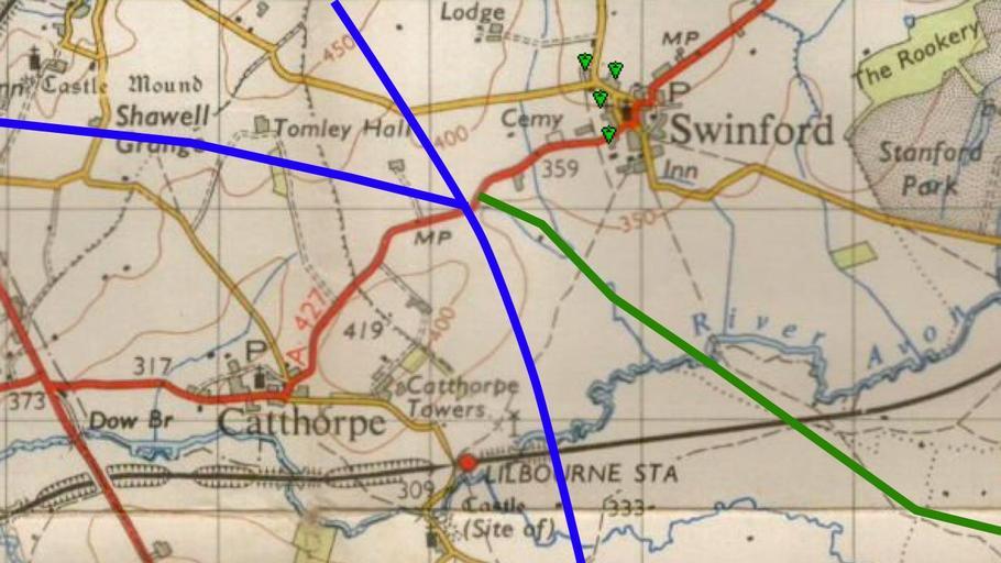
| Keywords: Catthorpe map old.jpg 1940s map of the location of the Catthorpe Interchange showing the route of the A427 road New Popular Edition map from http //www npemap org uk npemap Ordnance Survey PD-old Original upload log en wikipedia Kafuffle CommonsHelper page en wikipedia Catthorpe_map_old jpg 2010-11-18 22 23 PeterEastern 1280×720× 147235 bytes <nowiki> 1940s map of the area New Popular Edition map ~~~~~ Ordnance Survey </nowiki> Catthorpe Transport in Leicestershire | ||||