MAKE A MEME
View Large Image

| View Original: | CEM-44-La-Chine-la-Tartarie-Chinoise-et-le-Thibet-1734-NE-2571.jpg (2560x1920) | |||
| Download: | Original | Medium | Small | Thumb |
| Courtesy of: | commons.wikimedia.org | More Like This | ||
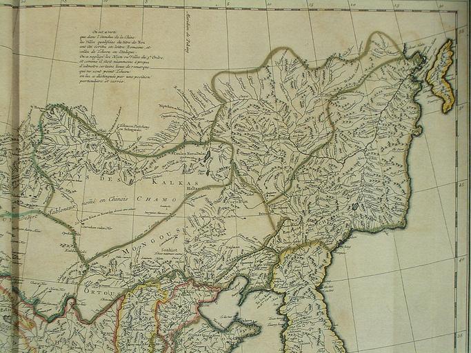
| Keywords: CEM-44-La-Chine-la-Tartarie-Chinoise-et-le-Thibet-1734-NE-2571.jpg Carte la plus generale et qui comprend la Chine la Tartarie Chinoise et le Thibet Dressee sur les cartes particuliers des RR PP Jesuites par le Sr d'Anville qui ya joint le pays compris entre Kashgar et la mar Caspienne tire des geographes et des historiens orientaux A most general map including China Chinese Tartary and Tibet based on individual maps of the Jesuit fathers The map gives 1734 as the year but the modern HKUST publishers say 1737 Fragment North-eastern quarter China in European Maps Plate 44 1734 according to the map itself although the modern publishers say 1737 Creator Jean Baptiste Bourguignon d'Anville Author died more than 70 years ago - public domain 200px entire map PD-old-100 18th-century maps of China Old maps of Asia Maps by Jean-Baptiste Bourguignon d'Anville | ||||