MAKE A MEME
View Large Image
| View Original: | Charlottetown, riding.png (352x212) | |||
| Download: | Original | Medium | Small | Thumb |
| Courtesy of: | commons.wikimedia.org | More Like This | ||
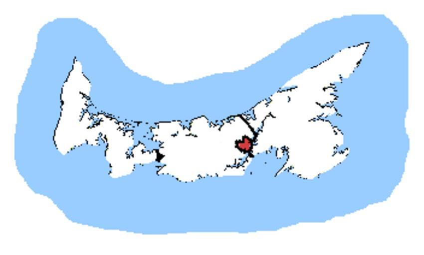
| Keywords: Charlottetown, riding.png Map of the Charlottetown electoral district Based on Earl Andrew's maps created by SimonP en wikipedia Kurykh CommonsHelper 2005-10-26 SimonP wikipedia en SimonP original upload log page en wikipedia Charlottetown 2C_riding png 2005-10-26 03 17 SimonP 352×212×8 4632 bytes <nowiki>Map of the electoral district Based on 's maps created by ~~~ </nowiki> Electoral districts of Prince Edward Island | ||||