MAKE A MEME
View Large Image

| View Original: | Counties_Sub_Regions.png (494x309) | |||
| Download: | Original | Medium | Small | Thumb |
| Courtesy of: | commons.wikimedia.org | More Like This | ||
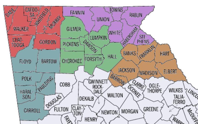
| Keywords: Counties Sub Regions.png wts oldwikivoyage 2012 November 17 Sub Regions of the Historic Highland region of Georgia are shown in different colors This image a derivative of a work create by a United States Census Bureau employee taken or made during the course of an employee's official duties As a work of the U S federal government the image is in the public domain The image was cropped and colored Wikivoyage user Georgia state Map of Georgia state ¤ 2006-07-11 http //en wikipedia org/wiki/File Georgia_ U S _state _counties_map png United States Census Bureau employee PD-USGov Original upload log wts page wts wikivoyage-old Counties_Sub_Regions png 2009-12-14 01 15 http //wts wikivoyage-old org/wiki/user 3A 28WT-shared 29_McBrayn WT-shared McBrayn 494×309 41110 bytes <nowiki> Imagecredit United States Census Bureau employee 11 July 2006 Georgia state http //en wikipedia org Import from wikitravel org/shared </nowiki> 2009-12-14 03 09 http //wts wikivoyage-old org/wiki/user 3A 28WT-shared 29_McBrayn WT-shared McBrayn 494×309 41110 bytes <nowiki> Import from wikitravel org/shared </nowiki> Travel maps from Wikivoyage WTS to check Travel maps of Georgia U S state Files by Wikivoyage user not yet sorted | ||||