MAKE A MEME
View Large Image
| View Original: | Desembocadura_del_Río_Negro_1780.jpg (593x422) | |||
| Download: | Original | Medium | Small | Thumb |
| Courtesy of: | commons.wikimedia.org | More Like This | ||
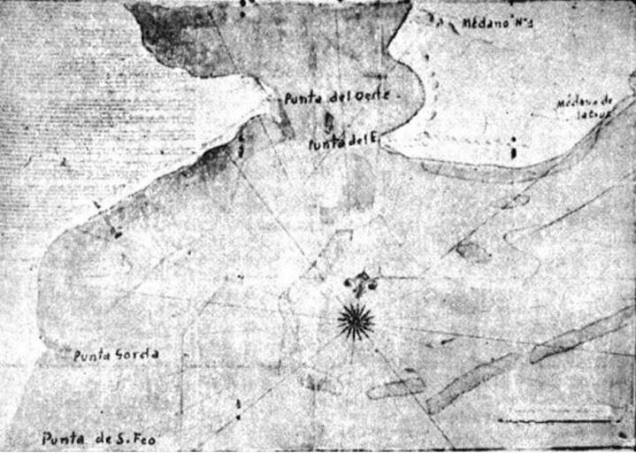
| Keywords: Desembocadura del Río Negro 1780.jpg es Mapa de la desembocadura del Río Negro realizado por el marino español Juan Pascual Callejas en 1780 1780-09-18 http //www patapedia com ar/flash/index html Patapedia Juan Pascual Callejas 18th Century other versions Custom license marker 2015 03 23 PD-old-100 Uploaded with UploadWizard Río Negro River Río Negro Province 1780 Maps of Río Negro Province Viceroyalty of Rio de la Plata Carmen de Patagones | ||||