MAKE A MEME
View Large Image

| View Original: | Developing_a_Habitat_Map.jpg (960x609) | |||
| Download: | Original | Medium | Small | Thumb |
| Courtesy of: | www.flickr.com | More Like This | ||
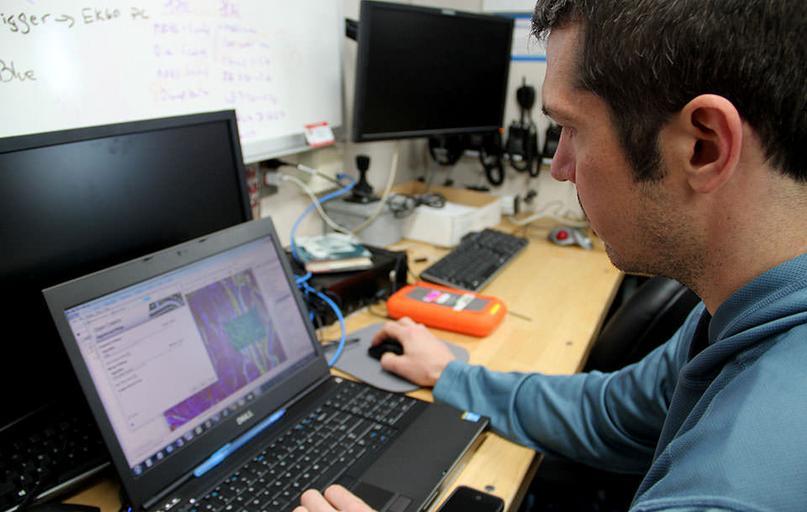
| Keywords: habitat map habitatmap u.s. virgin islands usvirginislands noaa national ocean service nationaloceanservice fish coral coral reefs coralreefs sonar biogeography ocean ocean science oceanscience technology indoor electronics screen monitor display screen computer screen Bryan Costa, geospatial scientist, creates a draft habitat map using sonar data collected overnight. During the eight-day mission, researchers deploy a remotely operated vehicle during the daytime and collect sonar data overnight. Learn more: oceanservice.noaa.gov/caribbean-mapping/ Bryan Costa, geospatial scientist, creates a draft habitat map using sonar data collected overnight. During the eight-day mission, researchers deploy a remotely operated vehicle during the daytime and collect sonar data overnight. Learn more: oceanservice.noaa.gov/caribbean-mapping/ | ||||