MAKE A MEME
View Large Image
| View Original: | Ducatus_Sleswicum_sive_Iutia_Australis_-map_of_Johannes_Blaeu.jpg (1338x2000) | |||
| Download: | Original | Medium | Small | Thumb |
| Courtesy of: | commons.wikimedia.org | More Like This | ||
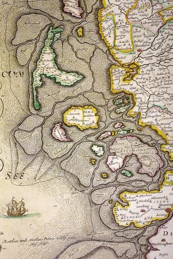
| Keywords: Ducatus Sleswicum sive Iutia Australis -map of Johannes Blaeu.jpg Map of Nordfriesland map from Johannes Blaeu showing the flooded isle of Nortstrandt Map was published in 1662 but was a remake of a map published by Johannes Meyer and Caspar Danckwerth in 1652 PD-Art Maps of Kreis Nordfriesland Old maps of Schleswig-Holstein Maps by Willem and Johannes Blaeu Maps of the history of coastlines Artworks missing infobox template | ||||