MAKE A MEME
View Large Image
| View Original: | El_Dorado_Hills_CDP_and_region.jpg (1824x883) | |||
| Download: | Original | Medium | Small | Thumb |
| Courtesy of: | commons.wikimedia.org | More Like This | ||
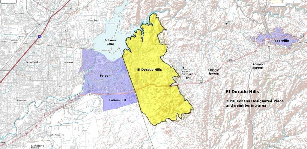
| Keywords: El Dorado Hills CDP and region.jpg en Map of the 2010 Census Designated Place for El Dorado Hills overlayed onto a map from the USGS The National Map web source 2011-05-06 US Census Bureau USGS image fusion shading and annotation updated by me US Census Bureau USGS Paul Raveling; Government sources supplied images in the public domain PD-USGov FAL Uploaded with UploadWizard El Dorado Hills California Maps of California | ||||