MAKE A MEME
View Large Image

| View Original: | Elevation_map_of_Europe.jpg (500x500) | |||
| Download: | Original | Medium | Small | Thumb |
| Courtesy of: | commons.wikimedia.org | More Like This | ||
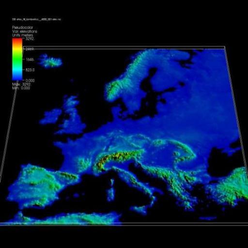
| Keywords: Elevation map of Europe.jpg en Elevation map of Europe The featured plot shows an elevation map of Europe produced from a rectilinear NetCDF dataset in which cells at sea level have been removed Data courtesy of Peter Goldstein Ph D LLNL https //wci llnl gov/codes/visit/gallery html Visualizations that have been created with VisIt at wci llnl gov Peter Goldstein Ph D LLNL Updated November 8 2007 PD-USGov Scientific visualization | ||||