MAKE A MEME
View Large Image
| View Original: | Eure_on_1855_Spruneri_Map_of_Gaul_in_Ancient_Times.jpg (607x448) | |||
| Download: | Original | Medium | Small | Thumb |
| Courtesy of: | commons.wikimedia.org | More Like This | ||
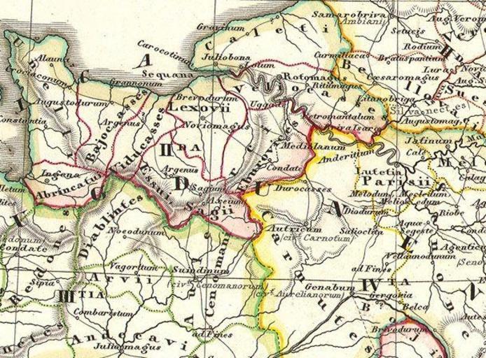
| Keywords: Eure on 1855 Spruneri Map of Gaul in Ancient Times.jpg en Detail of a hand colored map of Gaul It was published in 1855 by Justus Perthes The section shows some Celtic tribes in Normandy File 1855 Spruneri Map of France - Gaul - Gallia in Ancient Times - Geographicus - Gallia-spruneri-1855 jpg Creator Justus Perthes 1855 1855 Spruneri Map of France - Gaul - Gallia in Ancient Times - Geographicus - Gallia-spruneri-1855 jpg Maps by Justus Perthes Maps of Basse-Normandie Old maps of Eure 1855 maps Maps in Latin PD-old-100 | ||||