MAKE A MEME
View Large Image
| View Original: | Europe_1911_Caucasus_and_the_Black_Sea.jpg (887x591) | |||
| Download: | Original | Medium | Small | Thumb |
| Courtesy of: | commons.wikimedia.org | More Like This | ||
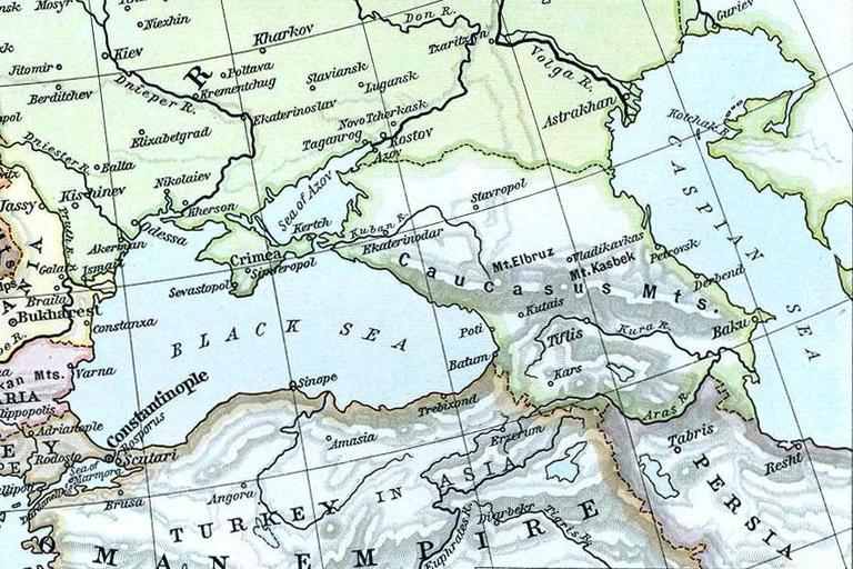
| Keywords: Europe 1911 Caucasus and the Black Sea.jpg en Map of Caucasus in Europe 1911 Image Europe_1911 jpg 2010 12 16 21 09 UTC Europe_1911 jpg Creator William R Shepherd derivative work Geagea <span class signature-talk >talk</span> Europe_1911 jpg PD-old Original upload log This image is a derivative work of the following images File Europe_1911 jpg licensed with Cc-pd-mark-footer PD-old 2009-04-24T21 17 47Z Alex D 2243x1840 1137406 Bytes <nowiki>Whitened vers </nowiki> 2006-05-08T10 35 17Z Roke 2243x1840 868247 Bytes <nowiki>Europe in 1911 Europe http //www lib utexas edu/maps/historical/shepherd/europe_1911 jpg Historical maps of Europe</nowiki> Uploaded with derivativeFX ImageNote 1 561 336 48 30 887 591 2 Tiflis Tbilisi ImageNoteEnd 1 ImageNote 2 590 262 73 34 887 591 2 Mt Kasbek ImageNoteEnd 2 ImageNote 3 477 330 30 24 887 591 2 Poti ImageNoteEnd 3 ImageNote 4 459 361 52 31 887 591 2 Batum ImageNoteEnd 4 ImageNote 5 573 375 38 22 887 591 2 Kars ImageNoteEnd 5 ImageNote 6 544 304 48 26 887 591 2 Kutais ImageNoteEnd 6 ImageNote 7 510 252 69 34 887 591 2 Mt Elbruz ImageNoteEnd 7 ImageNote 8 639 329 62 20 887 591 2 Kura R ImageNoteEnd 8 ImageNote 9 742 326 49 30 887 591 2 Baku ImageNoteEnd 9 Old maps of the Black Sea Maps showing history of Europe Maps showing 20th-century history Maps showing history by William R Shepherd William R Shepherd Old maps of the Caucasus Old maps of Viceroyalty of the Caucasus 20th-century maps of Georgia Old maps of Armenia 20th-century maps of Azerbaijan Georgia in the 1910s 1911 in Georgia | ||||