MAKE A MEME
View Large Image

| View Original: | Extract_from_Earl_of_Dorset_Survey_Tottenham_Parish_Plan_1619.png (1914x696) | |||
| Download: | Original | Medium | Small | Thumb |
| Courtesy of: | commons.wikimedia.org | More Like This | ||
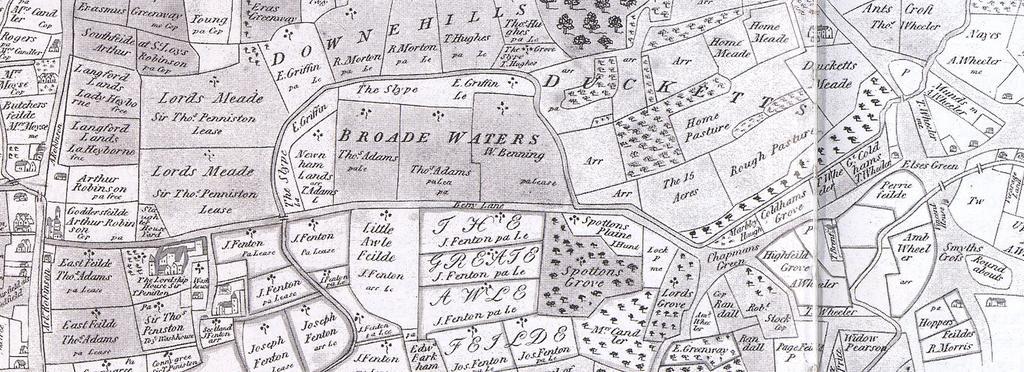
| Keywords: Extract from Earl of Dorset Survey Tottenham Parish Plan 1619.png en Extract from Earl of Dorset's Survey Tottenham Parish Plan 1619 Note south is at the top Tottenham Parish Plan 1619 Thomas Clay<ref> cite web http //www haringey gov uk/chestnuts_park_management_plan_08 pdf Park Management Plan 17 March 2009 2009 15 January PDF Haringey Council </ref> 1619 PD-old-100 References reflist 1619 Maps made in the 17th century Old maps of London Lordship Lane Haringey | ||||