MAKE A MEME
View Large Image

| View Original: | FMIB_40207_Woods_Hole_Harbor_and_Vicinity_(Based_on_U_S_Coast_and_Geodetic_Survey_chart_no348).jpeg (1669x1181) | |||
| Download: | Original | Medium | Small | Thumb |
| Courtesy of: | commons.wikimedia.org | More Like This | ||
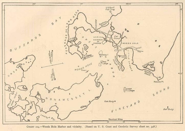
| Keywords: FMIB 40207 Woods Hole Harbor and Vicinity (Based on U S Coast and Geodetic Survey chart no348).jpeg check categories 19 September 2015 4 Woods Hole Harbor and Vicinity Based on U S Coast and Geodetic Survey chart no 348 Subject Woods Hole Harbor Massachusetts --Maps Woods Hole Massachusetts --Maps Geographic Subject United States--Massachusetts--Woods Hole Tag Coasts 1913 Cite book Biological Survey of the Waters of Woods Hole and Vicinity Section I--Physical and theoretical Bulletin of the Bureau of Fisheries vol 31 1911 Sumner Francis B ; Osburn Raymond C ; Cole Leon J Washington DC Government Printing Office 1913 Chart 224 Creator Francis Bertody Sumner Raymond C Osburn Creator Leon Jacob Cole PD-UWASH-FMIB Institution University of Washington FMIB-source accession number 40207 Images from the Freshwater and Marine Image Bank to check Francis Bertody Sumner Raymond C Osburn Leon Jacob Cole Woods Hole Massachusetts | ||||